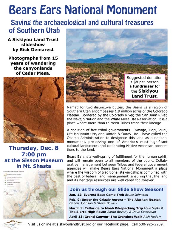
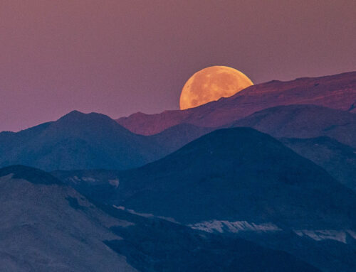
 Rick Demarest’s program on the proposed Bears Ears National Monument in southern Utah features amazing photographs of the region, collected through 15 years of wandering the canyonlands of Cedar Mesa.On Thursday evening, December 8, the program begins at 7PM at the Sisson Museum Auditorium in Mt. Shasta, with a suggested donation of $8 as a fundraiser for SLT.
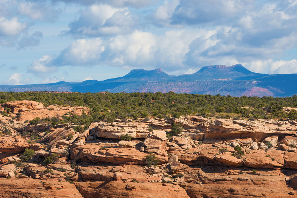
The Bears Ears is located in Southern Utah and encompasses 1.9 million acres of ancestral land on the Colorado Plateau. Its diverse topography and unique landforms range in elevation from 3,700 feet to over 11,300 feet. Named for two distinctive buttes, the Bears Ears is bordered by the Colorado River on the west, the San Juan River and Navajo Nation on the south, and the White Mesa Ute Reservation on the East. It is a place where more than thirteen Tribes trace their lineage. Today, this landscape is open to all Americans, yet it is under the protection of only one full-time federal law enforcement officer.
A coalition of five tribal governments – Navajo, Hopi, Zuni, Ute Mountain Ute, and Uintah and Ouray Ute – has asked the Obama Administration to designate a national monument to preserve one of America’s most significant cultural landscapes.
The proposed Bears Ears National Monument is a celebration of Native American connections to the land. It is a well-spring of fulfillment for the human spirit, and will remain open to all members of the public. Management will be collaborative between Tribes and federal government agencies, making Bears Ears National Monument a place where the wisdom of traditional stewardship is combined with the best of federal land management to ensure that the land and its heritage resources are well cared for, forever.
Learn more about the efforts to protect this area at bearsearscoalition.org, and join us on Thursday, Dec. 8, for a beautiful and important slideshow.
