Into the field for the Scott River Headwaters Conservation Project
From the Spring 2020 eNewsletter
Creating a Baseline Report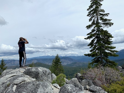
The work of establishing a conservation easement for a piece of land is lengthy and involves many elements. As a project nears the point of purchasing and recording the easement, one critical task for long-term stewardship of the land is the creation of the Baseline Conditions Report (BCR).
This “baseline report” captures a snap-shot in time, showing what the land looks like as the project closes. This document, which includes descriptions of the property, the conservation values, current and past uses, infrastructure elements, species of significance and so much more, provides the starting point for monitoring the landscape over time.
While there is much descriptive text, the baseline report relies on photo point monitoring – selecting and mapping established points with compass bearing that defines exactly where photos will be taken. Then, year after year, SLT returns to those photo points to take the same photos in the same directions. This careful monitoring will establish a graphic record of what changes have or have not occurred. Land under CEs are preserved “in perpetuity” and the SLT’s commitment as the CE holder is to visit those lands annually, making sure that the conditions of the CE are being upheld.
Into the field on the Wildcat and Whiskey blocks
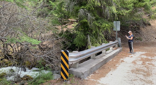 In late April 2020, SLT staff headed out into the field to start the process of setting photo points for the Wildcat and Whiskey blocks of the easements on the west side of Scott Valley. These watersheds are part of the Scott River Headwaters Conservation Project. For nearly three years now, SLT has been working with Ecotrust Forest Management (EFM) to place conservation easements on nearly 40,000 acres of working forest in western Siskiyou County. As the Wildcat and Whiskey CE projects near completion, we’re partnering with EFM staff to prepare those baseline reports.
On the ground, setting the photo points means driving deep into the two projects, which together total over 26,800 acres. We’re selection locations that include special features of the landscape or particular management elements. Six streams with cold water and habitat for fish, areas of Northern Spotted Owl habitat, areas with spectacular conifer diversity and wet meadows are all on the list of areas to monitor forever. Our first trip to the Wildcat block saw nearly 70 miles of dirt road and trail within the project property – and 6400 feet of elevation gain over those miles as we climbed into the mountains below the Russian Wilderness.
Closing the conservation easements
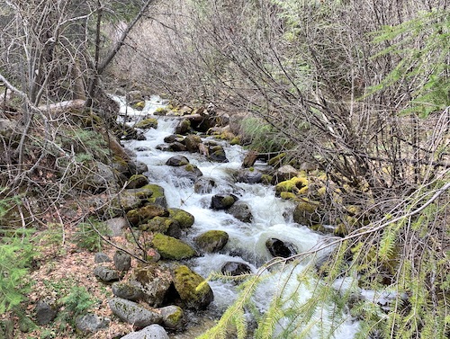 It’s exciting to be permanently protecting landscapes with such outstanding and important conservation values. Getting out into the field to see those areas, documenting their current conditions and getting to know the land is a special treat. In the coming months as fine details are completed on the conservation easements themselves, these baseline reports will also be finalized – all in preparation for closing the CEs.
After the easements are recorded, Siskiyou Land Trust transitions into the work of stewardship. We will maintain relationships with the land owner, monitor what’s happening on the land, and make sure the terms that were set out in each easement are upheld for years and decades to come.

